Spatial Analysis
Leverage the potential of spatial data for better decision-making. We offer expert spatial analysis, mapping, and visualization services.

At SJ DigiTech Private Limited. (SJD) we are passionate about harnessing the power of geospatial technology to help businesses, organizations, and researchers make informed decisions, solve complex problems, and unlock new opportunities.
We specialize in providing a wide range of services in the fields of GIS (Geographic Information Systems), Archgeo, Geospatial Data Science, and Engineering. Additionally, we excel in developing scientific software using both open-source and commercial technologies to cater to your specific needs.
Our team consists of highly skilled professionals with years of experience in GIS, Archgeo, geospatial data science, and software engineering.
Tailored Solutions:We understand that every project is unique. Our solutions are tailored to meet your specific needs and objectives.
Cutting-Edge Technology:We stay up to date with the latest advancements in geospatial technology to provide you with the most innovative solutions.
Cost-Effective:We offer competitive pricing without compromising on the quality of our services.
Whether you are looking to optimize your operations, conduct in-depth spatial analysis, or develop custom geospatial software, SJ DigiTech Private Limited. (SJD) is your trusted partner. Contact us today to discuss your project, and let's unlock the power of geospatial technology together.


Leverage the potential of spatial data for better decision-making. We offer expert spatial analysis, mapping, and visualization services.
Our team can create tailored maps to meet your unique requirements, from interactive web maps to detailed print maps.
Benefit from our in-depth expertise in GIS. We provide consulting services to help you implement and optimize GIS solutions for your projects.
Turn your geospatial data into valuable insights. We offer data analysis, modeling, and machine learning services.
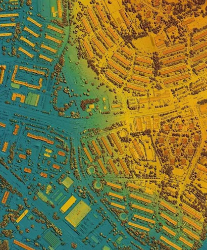
Utilize satellite and aerial imagery for applications such as environmental monitoring, agriculture, and urban planning.
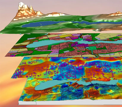
Integrate data from various sources to create a comprehensive geospatial information system.
Design and implement geodatabases for efficient storage and retrieval of spatial data.
We develop custom geospatial applications and tools to meet your specific requirements.
Build interactive web applications and services for seamless sharing of spatial data.
We develop scientific software using popular open-source technologies to keep your costs low.
If you prefer commercial tools, we can help you build custom solutions tailored to your needs.